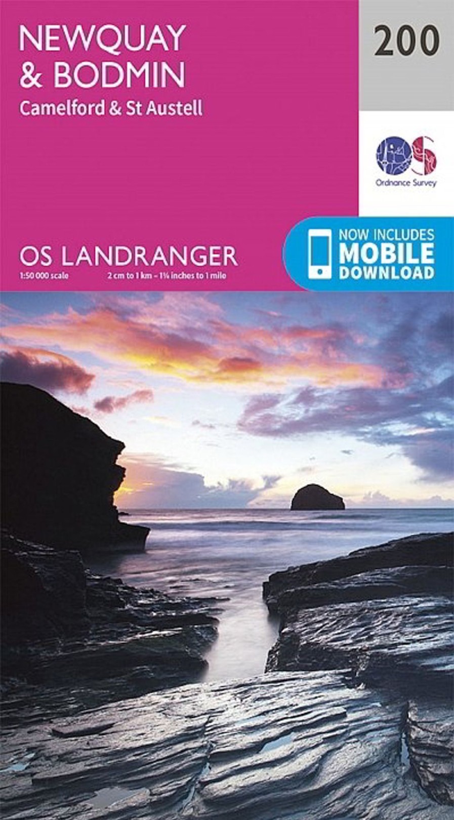
Equipment Ordnance Survey Maps And Books | Os Landranger Map 200 – Newquay, Bodmin, Camelford And St Austell Pink
£12.87 £11.07
Equipment Ordnance Survey Maps And Books | Os Landranger Map 200 – Newquay, Bodmin, Camelford And St Austell Pink

The Os Landranger Map Series Covers Great Britain With 204 Detailed Maps, Perfect For Day Trips And Short Breaks. Each Map Provides All The Information You Need To Get To Know Your Local Area And Includes Places Of Interest, Tourist Information, Picnic Areas And Camp Sites, Plus Rights Of Way Information For England And Wales. Os Landranger Now Includes A Digital Version Of The Paper Map, Accessed Through The Os Smartphone App, Os Maps.
Be the first to review “Equipment Ordnance Survey Maps And Books | Os Landranger Map 200 – Newquay, Bodmin, Camelford And St Austell Pink” Cancel reply
Related products
Climbing Equipment
Climbing Equipment
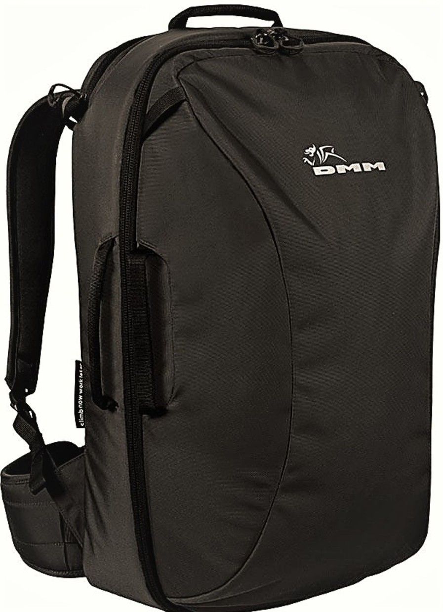
Equipment DMM Climbing Packs And Rope Bags | Dmm Flight Bag 45L Black
Climbing Equipment
Climbing Equipment
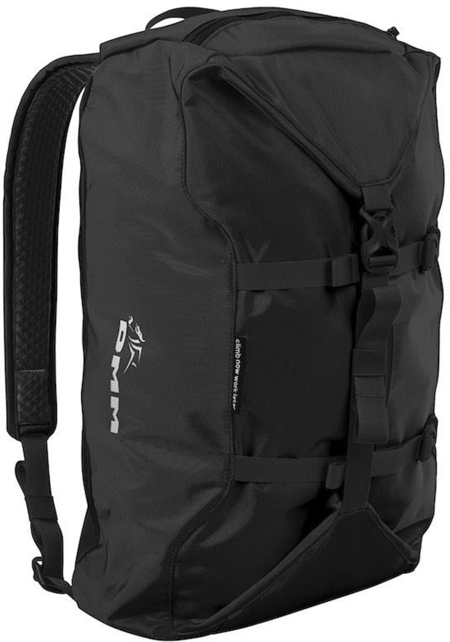
Equipment DMM Climbing Packs And Rope Bags | Dmm Classic Rope Bag Black
Climbing Equipment
Equipment Edelrid Ropes & Slings | Edelrid Ceuze 9.8Mm X 70M Climbing Rope – Icemint-Sahara Orange
Climbing Equipment
Equipment Edelrid Ropes & Slings | Edelrid Ceuze 9.8Mm X 50M Climbing Rope – Icemint-Sahara Orange




Reviews
There are no reviews yet.